Log in
All resources
Create a design
1,096,578 Free Images of Maps Of Battles
maps made in the 17th century
atlantis magni tomus tertius (biblioteca comunale di trento)
maps by pieter schenk (i)
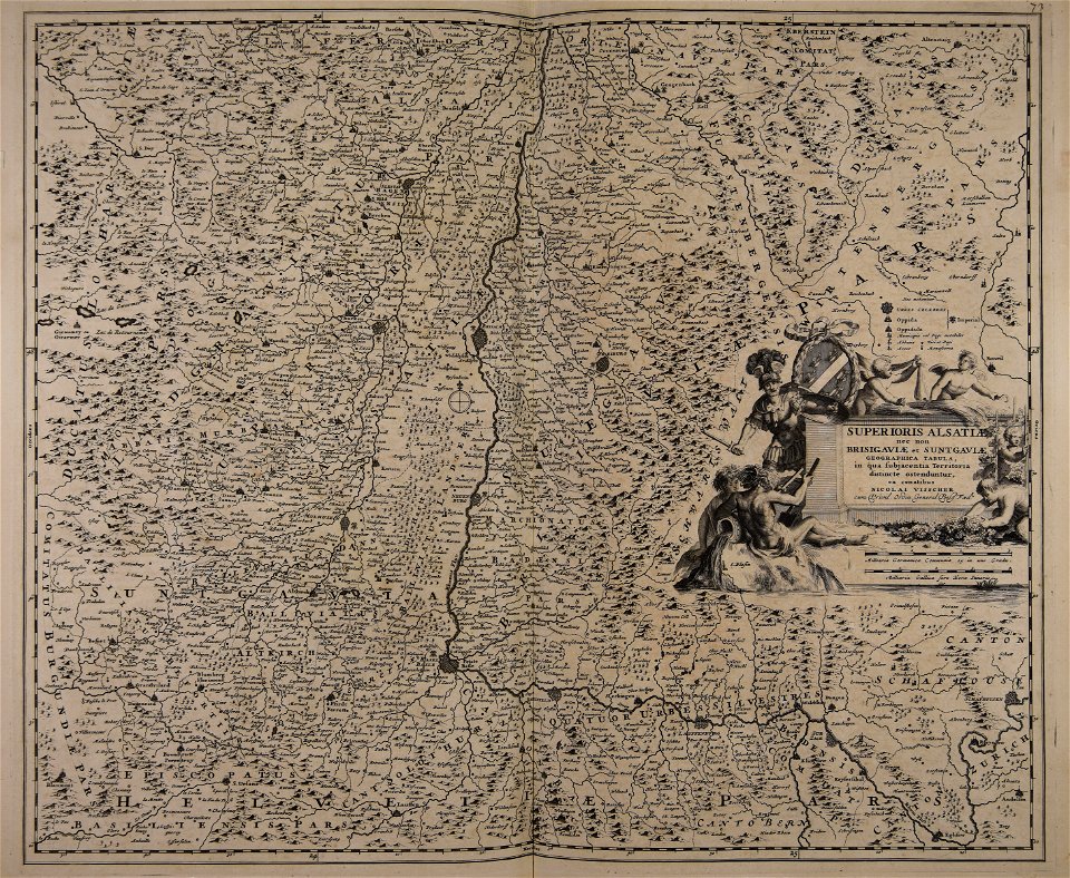
maps by nicolaes visscher i
old maps of the dutch east india company
maps made in the 18th century
maps in the library of congress
maps of the dutch east india company - korea
charts and maps of the royal museums greenwich
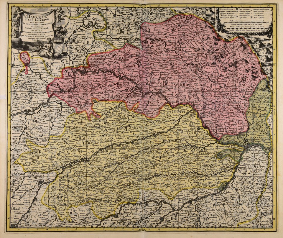
old maps of bavaria
maps made in the 16th century
old maps of switzerland
details of müller's map of bohemia
1720 maps of europe
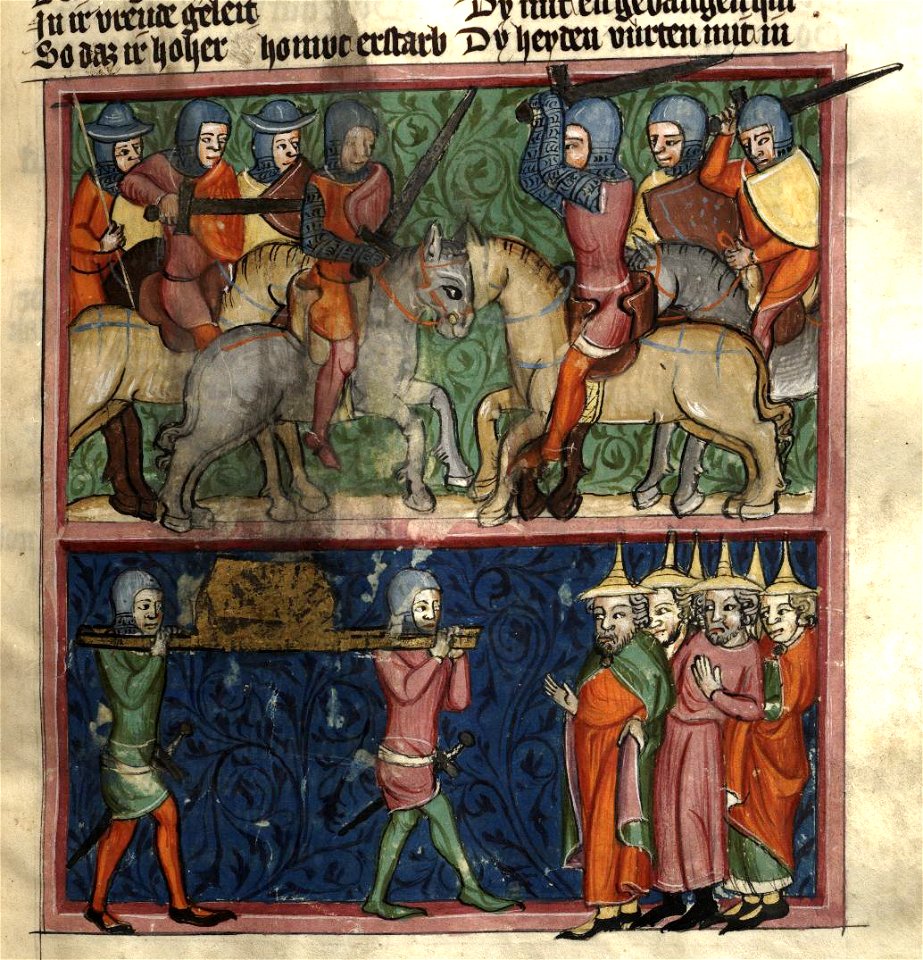
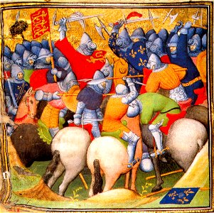
medieval miniatures of battles
georgia in the 1640s
military history of the netherlands
1653 paintings
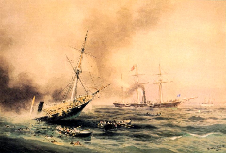
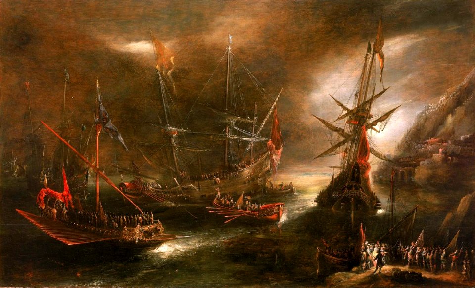
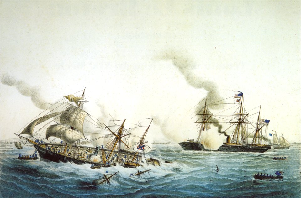
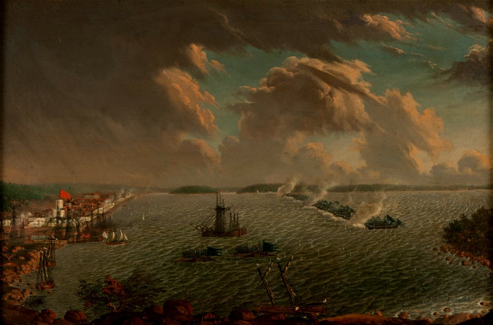
19th-century paintings of naval battles
colonial williamsburg
maps made in the 16th century
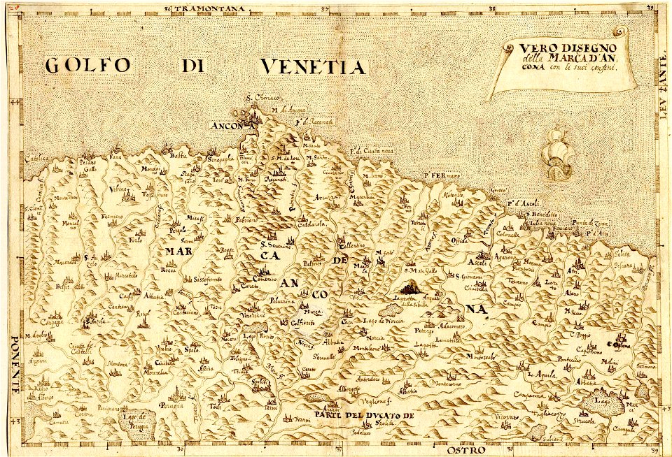
maps of the march of ancona
1830 vienna map series by carl graf vasquez
old maps of margareten
university of toronto wenceslas hollar digital collection
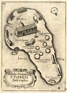
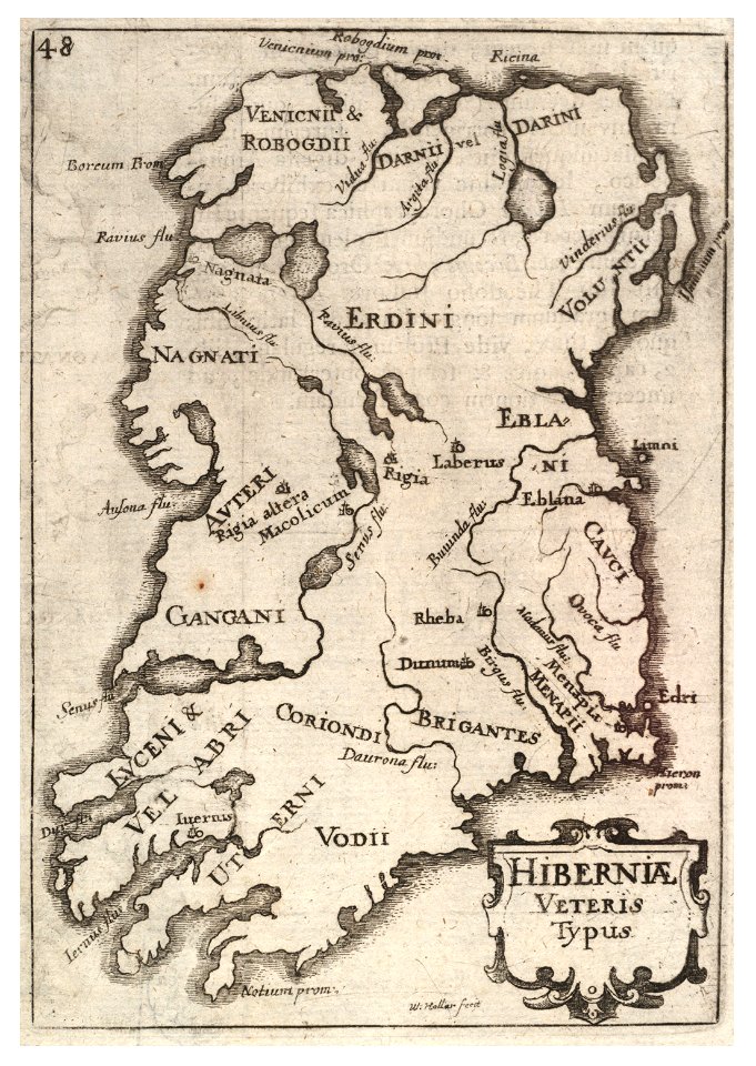
old maps of ireland
university of toronto wenceslas hollar digital collection
old maps of ireland
university of toronto wenceslas hollar digital collection
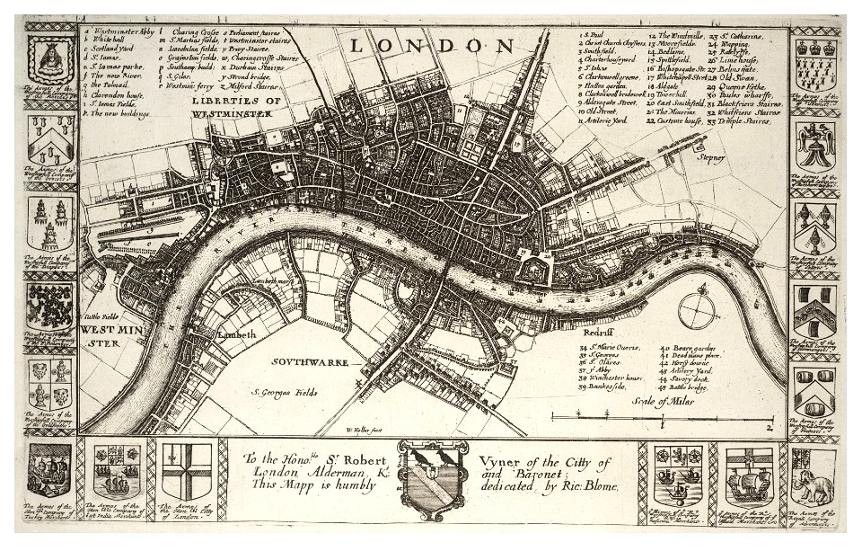
hollar maps and plans of london
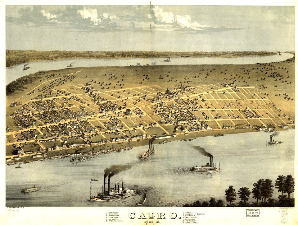
maps in the library of congress
cairo
maps in the library of congress
cairo
maps made in the 17th century
history of dorsten
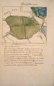
maps of amsterdam-noord
buikslotermeer
old maps of the dutch east india company
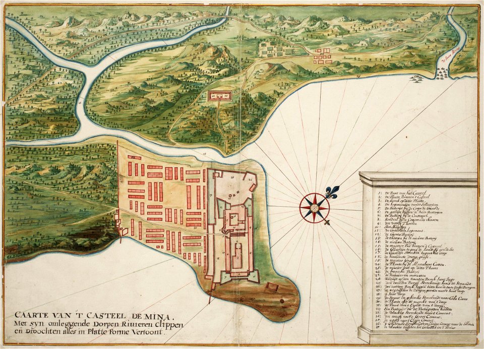
1662
makassar
1757
maps of the west-indische compagnie
1746
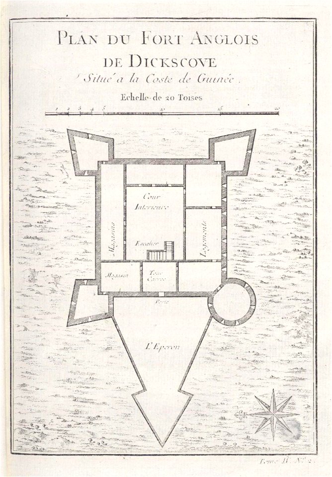
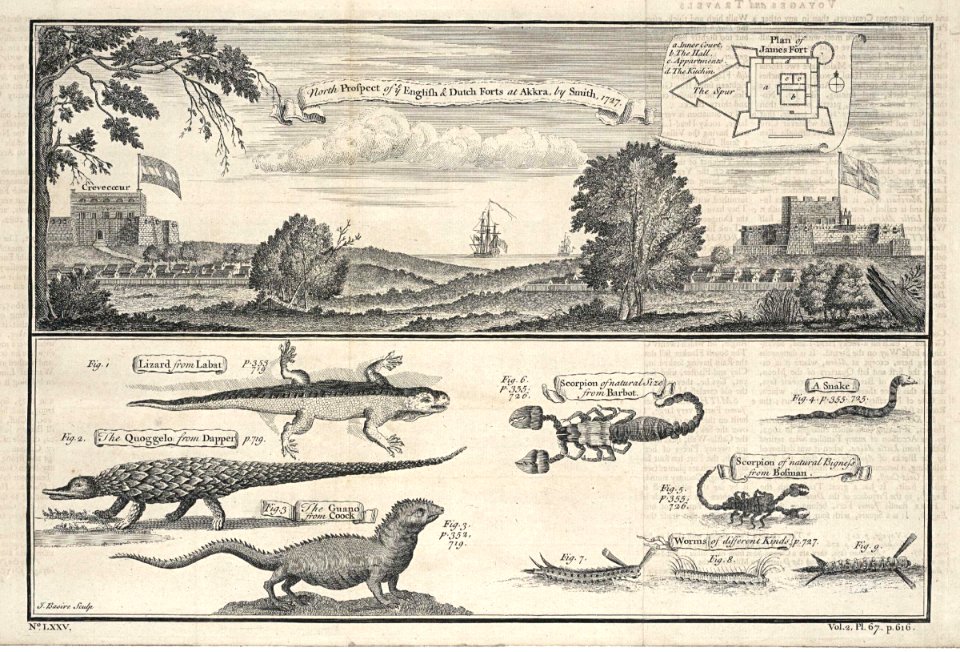
accra
1745
maps of the dutch east india company - japan
1655)
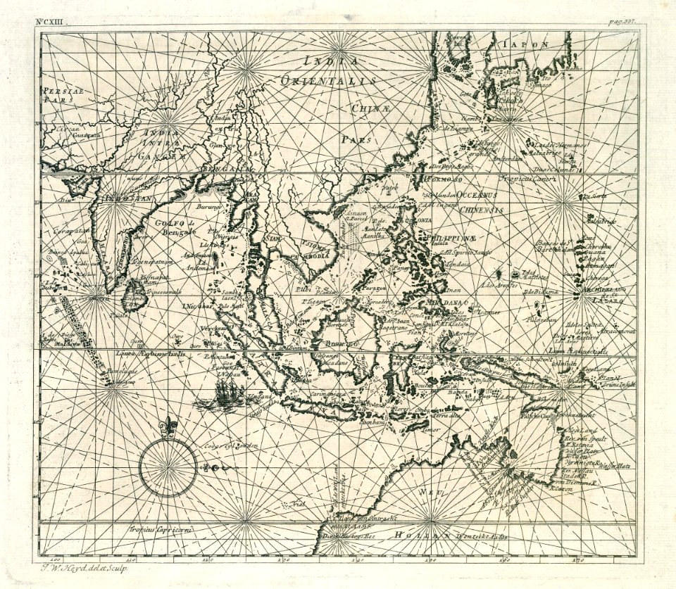
17th-century maps of indonesia
1614
maps of the dutch east india company - japan
1705
old maps of the dutch east india company
1705
maps of the dutch east india company - india
1672
old maps of the dutch east india company
1665
maps of the west-indische compagnie
1665
old maps of the dutch east india company
1672
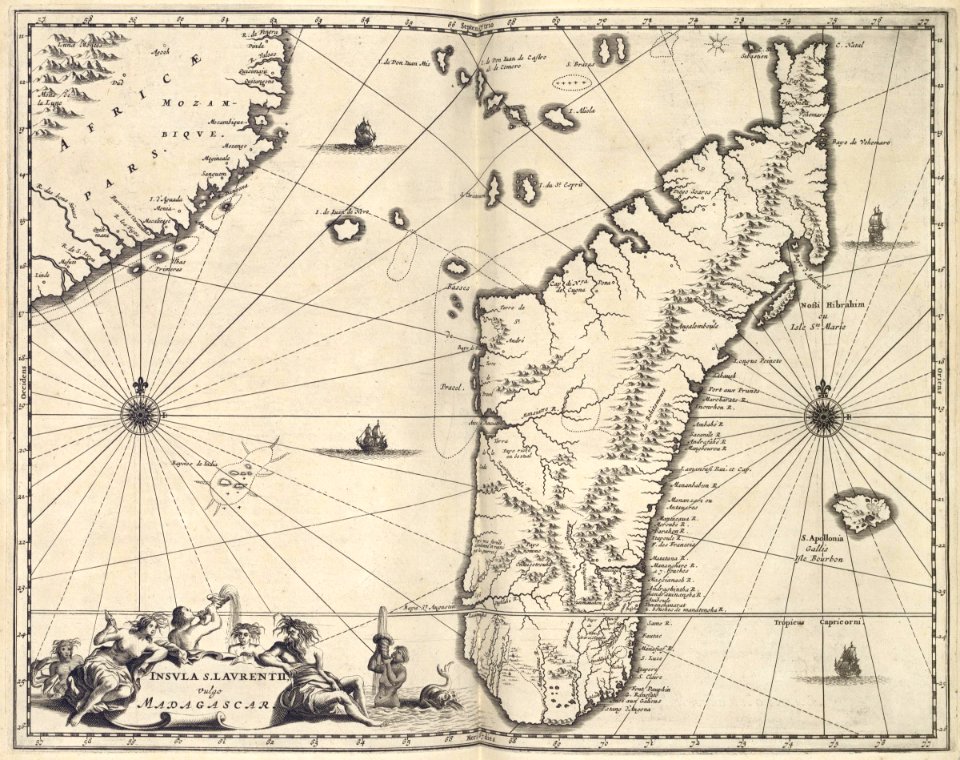
maps of the dutch east india company - madagascar
1668
johannes janssonius waasbergen
1672
old maps of the dutch east india company
1730s
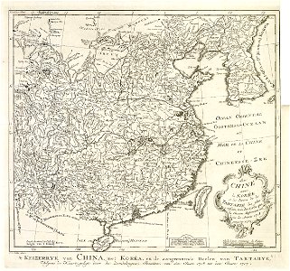
maps of the dutch east india company - korea
1749
maps of the dutch east india company - korea
1749
charte von schwaben (bohnenberger)
maps of landkreis sigmaringen
charts and maps of the royal museums greenwich
edward gennys fanshawe
charts and maps of the royal museums greenwich
16th-century maps of the black sea
charts and maps of the royal museums greenwich
16th-century maps of the black sea
1872 engravings
wood engraving
massachusetts
1891 map
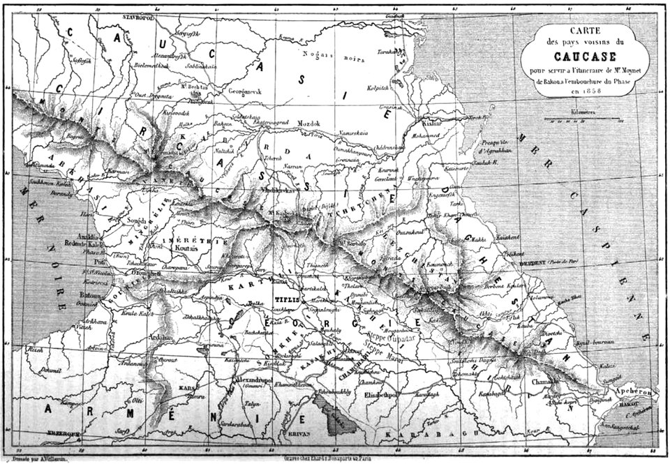
19th-century maps of the caucasus
maps by alexandre vuillemin
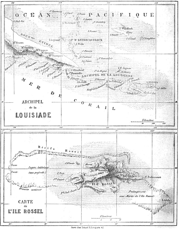
old maps of papua new guinea
maps by alexandre vuillemin
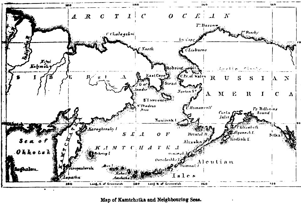
maps of kamchatka
1856 maps
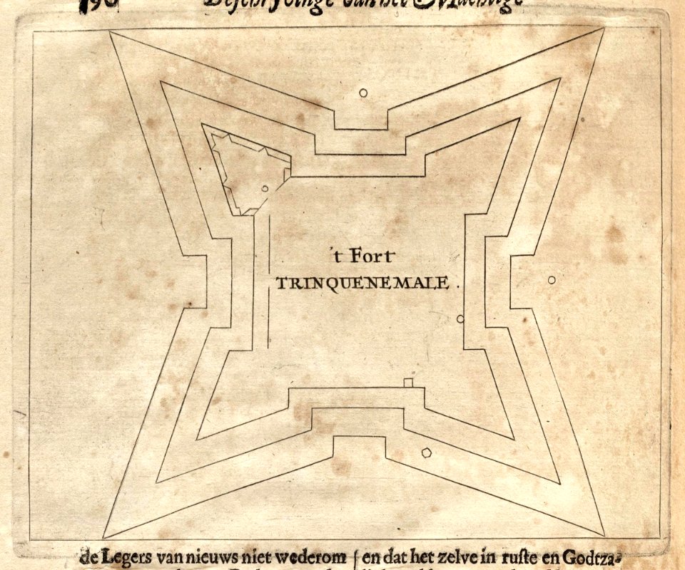
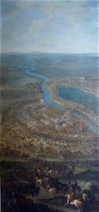
siege of vienna
wien museum
old maps of carinthia
kärntner landesarchiv
charts and maps of the royal museums greenwich
1682 maps
the illustrated london news 1860
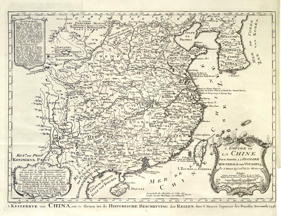
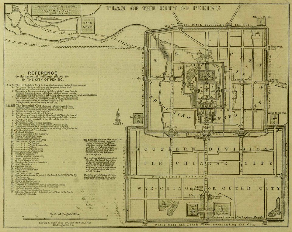
19th-century maps of china
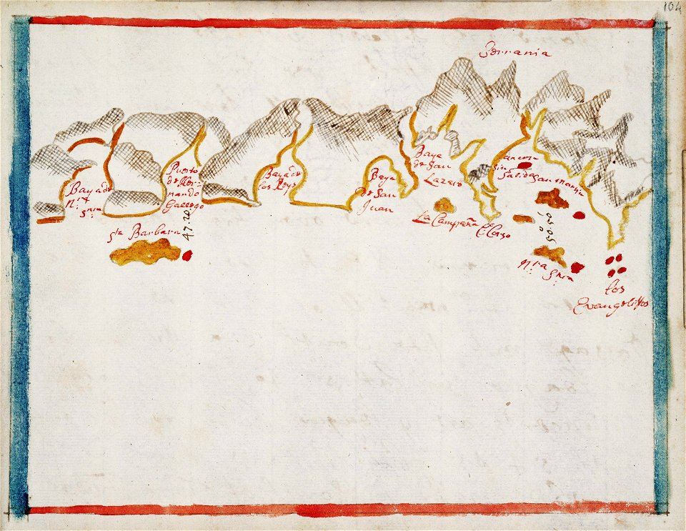
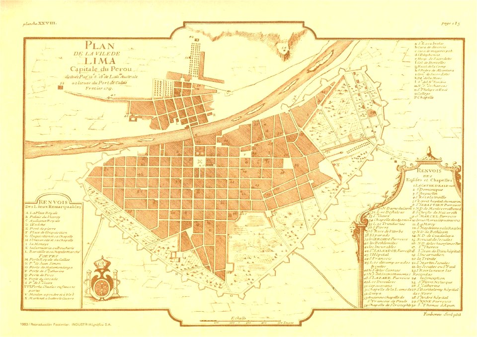
old maps of lima
frézier's travel
massachusetts
1891 map
popular science monthly illustrations/volume 13
drainage basin maps of north america
medieval miniatures of battles
jewish hat
oil paintings of the royal museums greenwich
1812 in art
maps by willem and johannes blaeu
hudson valley
1862
1861
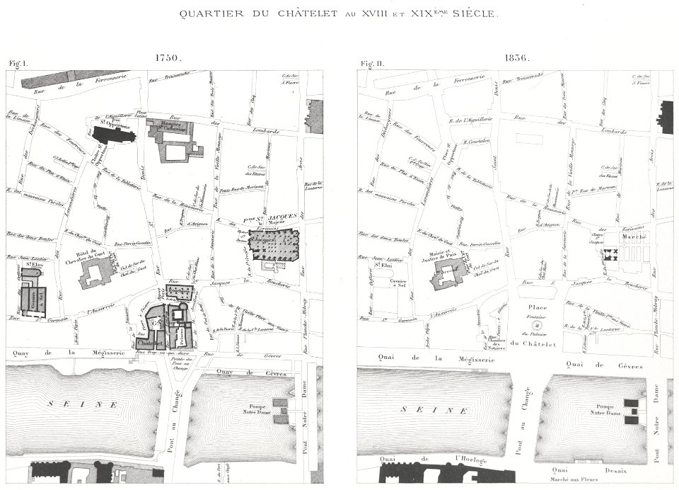
lithographs of paris
grand châtelet
1784
1786
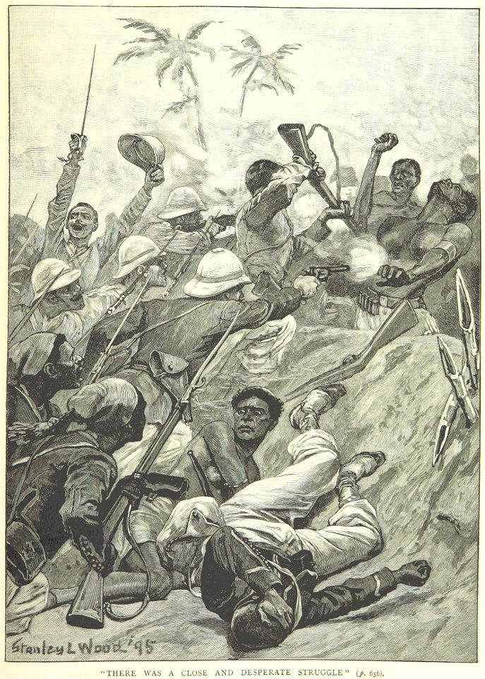
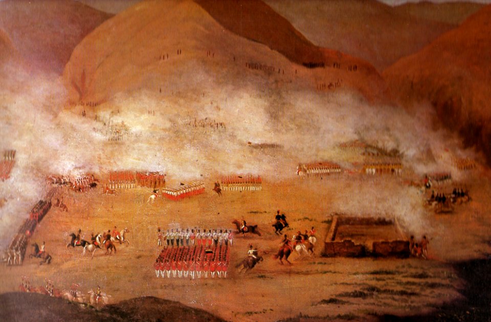
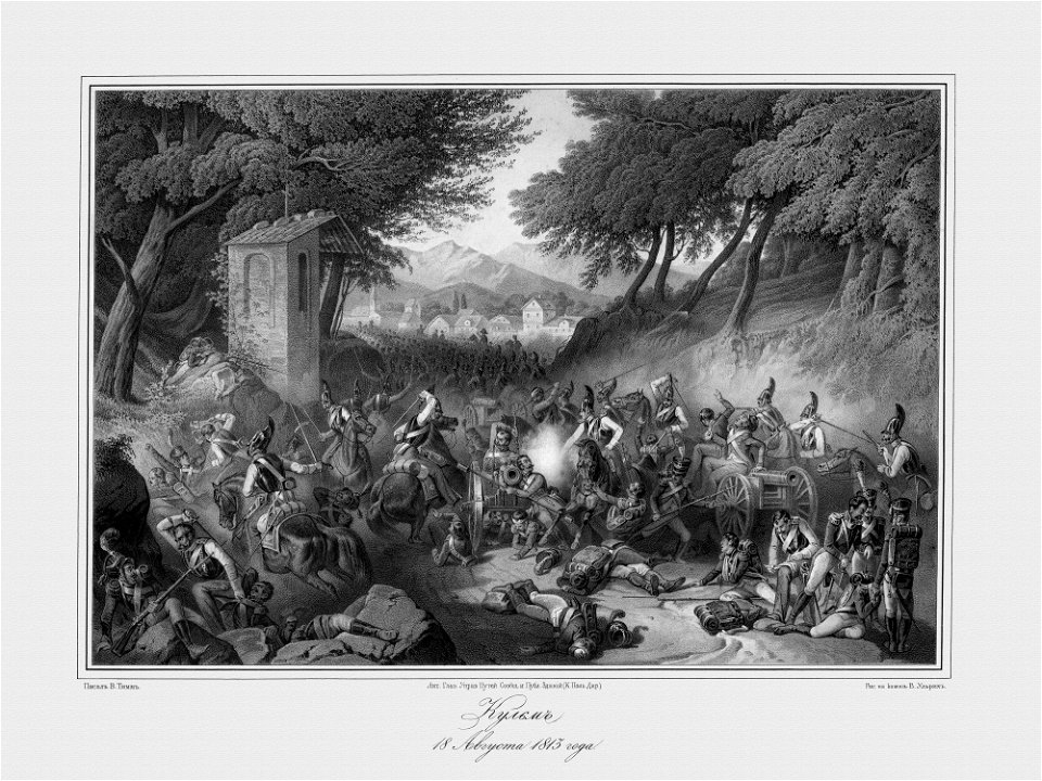
illustrated battles of the nineteenth century
1895 drawings
battles of the thirty years' war
london
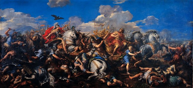
paintings of alexander the great
paintings by pietro da cortona
antropología e historia del perú
battles in art
1862
1861
history painting
battles in art
19th-century lithographs
battles in art
battle of fredrikshamn
naval battles in art
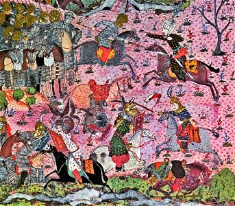
hungary-related turkish miniatures in the topkapi palace museum
paintings of ottoman battles
battle of crécy (iconographie)
medieval miniatures of battles
john christian schetky
battle of trafalgar
18th-century paintings in the kunsthistorisches museum
battle of zenta
old maps of the arctic
maps in literature
maps made in the 16th century
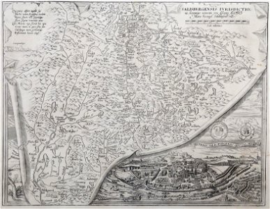
old maps of salzburg (state)
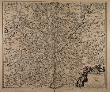
maps made in the 17th century
maps by nicolaes visscher i
maps made in the 17th century
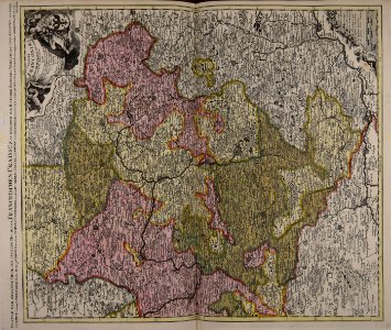
old maps of westphalia
maps made in the 17th century
maps by pieter schenk (i)
maps made in the 17th century
maps by nicolaes visscher i
maps made in the 17th century
maps by nicolaes visscher i
atlantis magni tomus quintus (biblioteca comunale di trento)
maps made in the 18th century
maps with cartouches
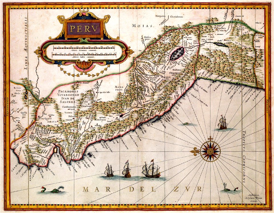
old maps of peru
maps made in the 17th century
maps by nicolaes visscher i
maps made in the 17th century
maps by pieter schenk (i)
maps made in the 17th century
maps by nicolaes visscher i
maps made in the 17th century
maps by nicolaes visscher i
maps made in the 17th century
maps by nicolaes visscher i
world map
1300
maps made in the 17th century
maps by nicolaes visscher i
maps by nicolaes visscher i
old maps of greece
maps made in the 17th century
old maps of gelderland
atlantis magni tomus quintus (biblioteca comunale di trento)
maps made in the 18th century
maps made in the 18th century
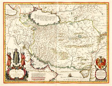
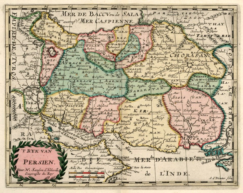
old maps of iran
maps made in the 18th century
old maps of saxony
maps made in the 18th century
old maps of flanders
old celestial maps
gerard valck
maps from the mechanical curator collection
old maps of prussia
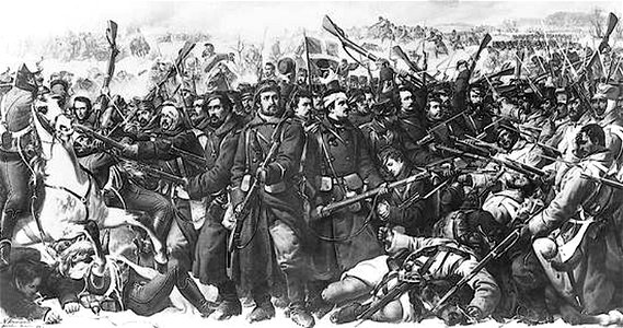
paintings of battles of the american civil war
19th-century paintings of battles
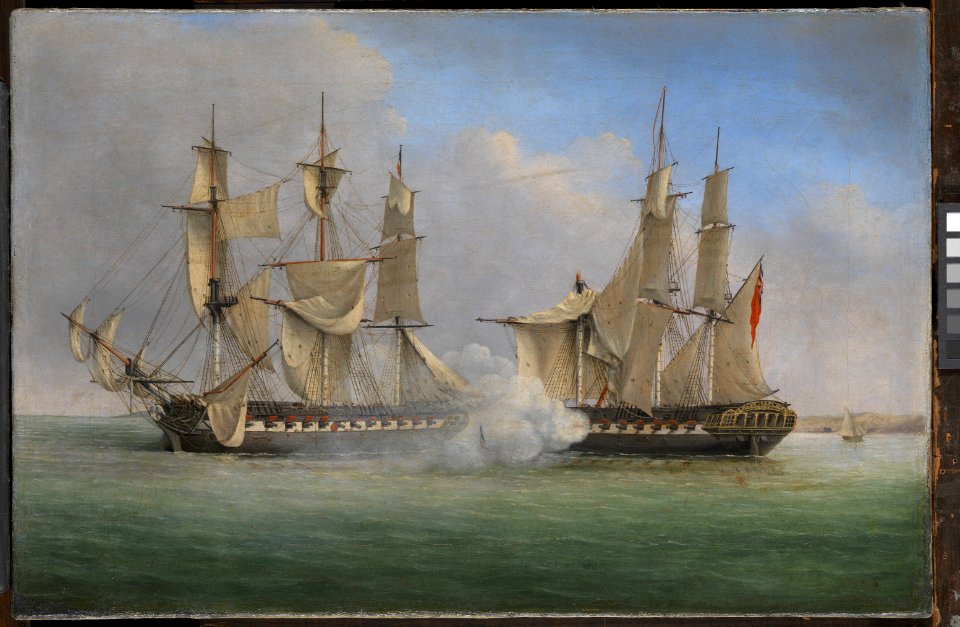
18th-century paintings of naval battles
dominic serres
fonds ancely - bibliothèque municipale de toulouse - maps
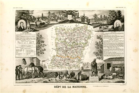
coats of arms of cities in mayenne
coats of arms of cities in haute-marne
charles-guillaume étienne
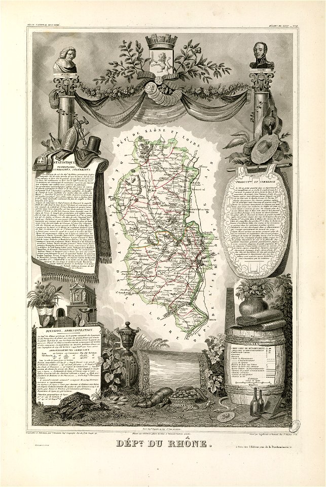
coats of arms of rhône
louis gabriel suchet
maps by wolfgang lazius
maps from burzenland
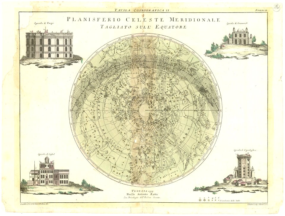
maps by antonio zatta
old celestial maps
maps by matthäus seutter
old celestial maps
maps made in the 17th century
gerard valck
maps by willem and johannes blaeu
maps made in the 17th century
maps made in the 17th century
gerard valck
4701 - 4800 of 1,096,578
Next page
/ 10966